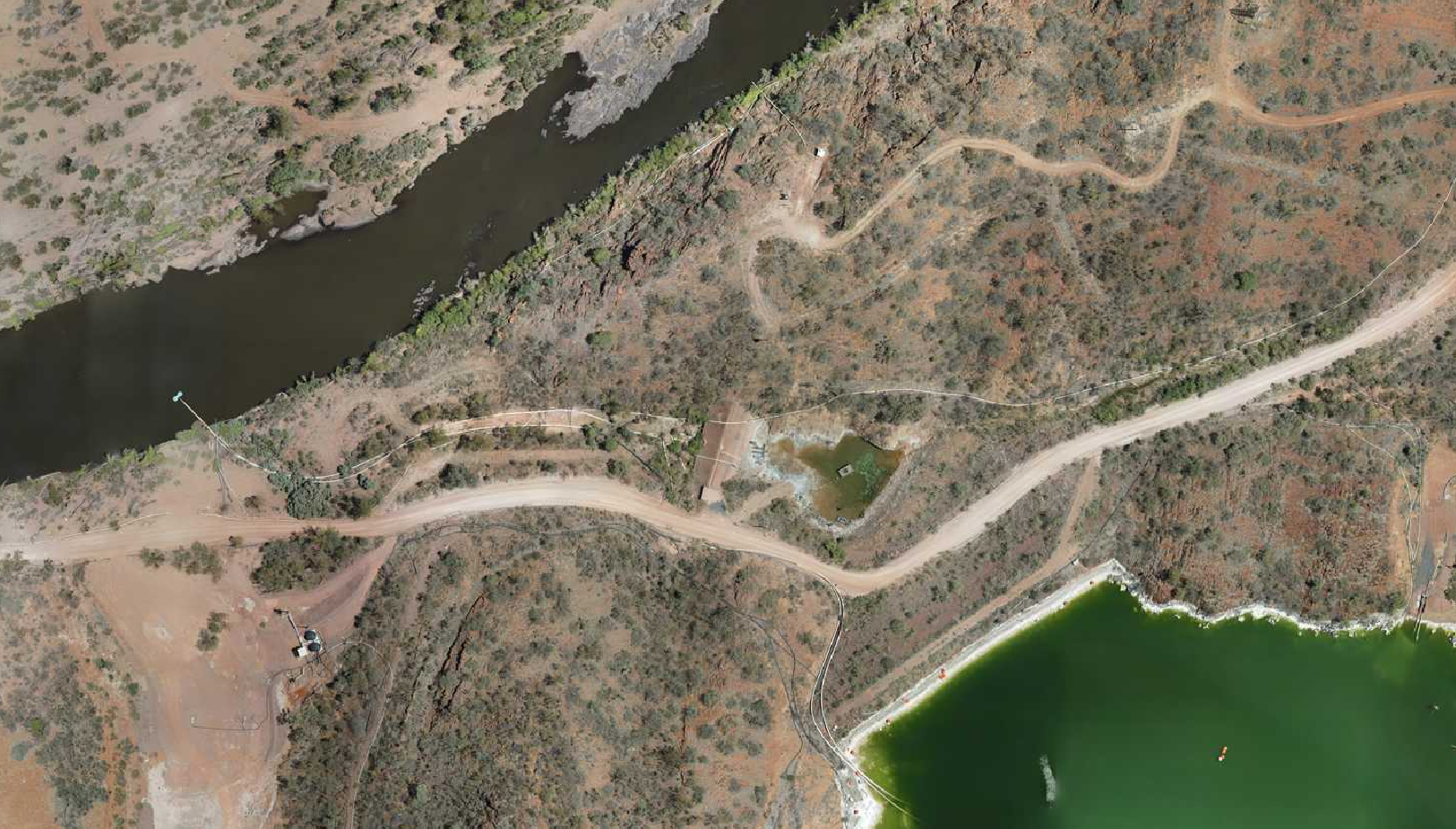
Bathymetry surveying
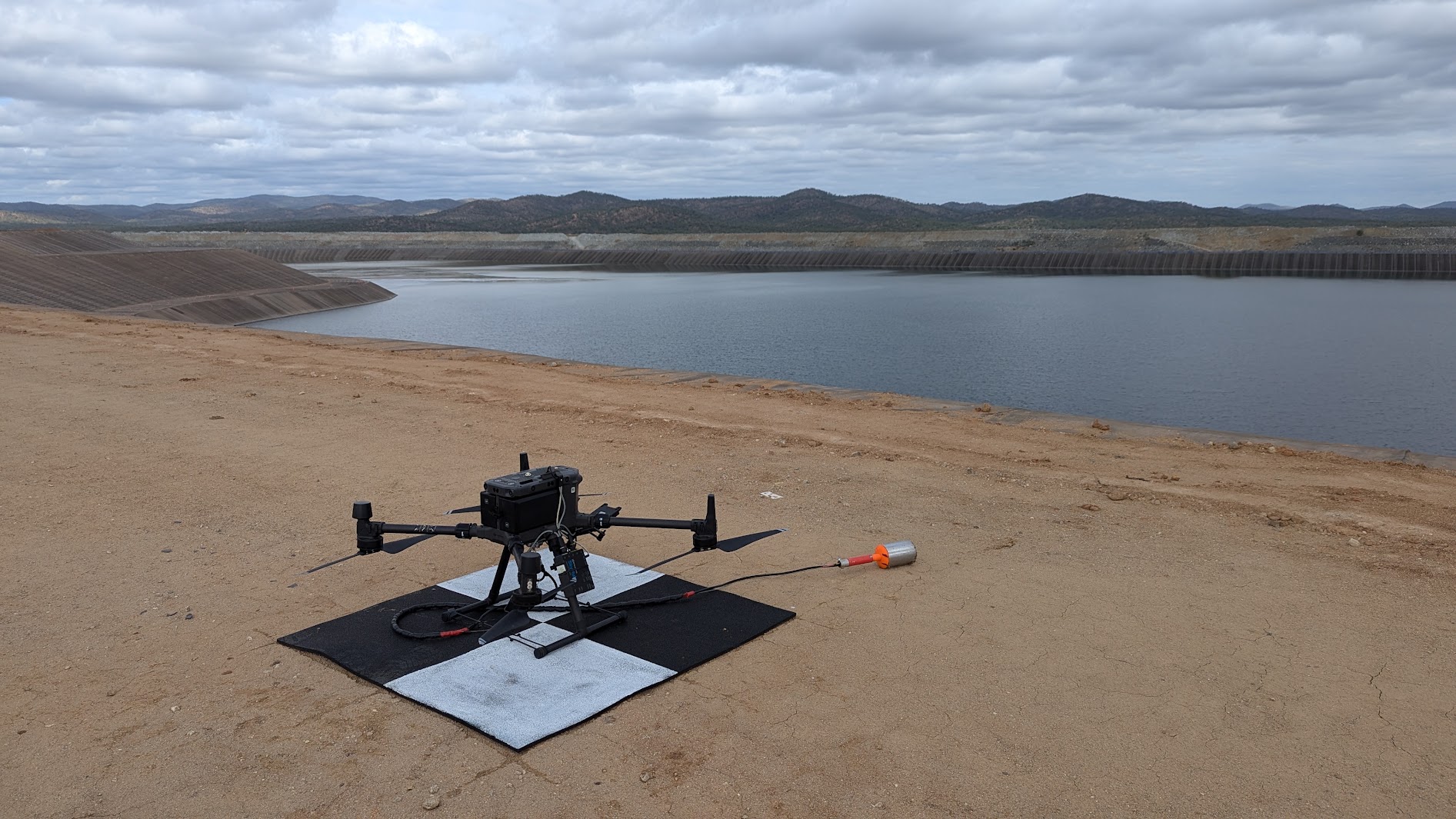
Drone-deployed bathymetry for dams, ponds, pits and other water bodies where edge access is restricted, unsafe or inefficient.
- Depth and volume measurement
- Tailings dam and pit surveys
- Repeatable sediment and capacity tracking
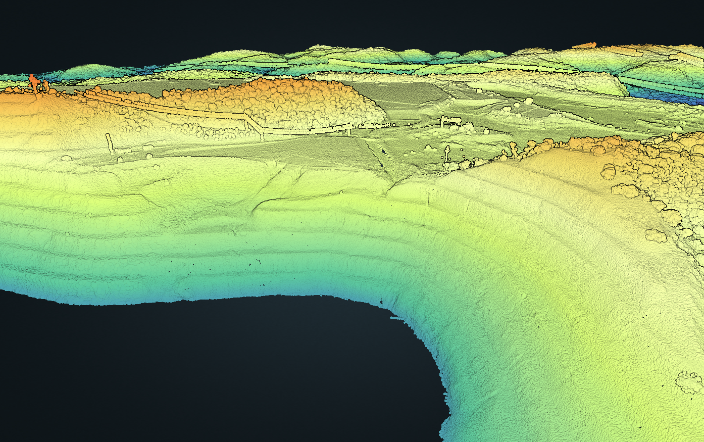
Mining, infrastructure and environmental survey data
Brolga Tech delivers specialist UAV bathymetry, LiDAR and aerial image surveys across Australia for teams that need safer capture, repeatable measurements and practical geospatial outputs.
Survey focus
Our work has evolved from broad drone services into focused technical surveys for complex operational sites across Australia. We help mining, engineering and environmental teams capture reliable surface, waterbody and asset data without unnecessary exposure to hazards.
Core products
Drone-deployed bathymetry for dams, ponds, pits and other water bodies where edge access is restricted, unsafe or inefficient.
High-density point cloud capture for terrain, corridors, structures and vegetated areas where accurate 3D data matters.
Geospatially accurate imagery for mapping, inspection, change detection and desktop assessment across active sites.
Mining applications
Mine teams need data that can be captured safely, processed clearly and used confidently. Brolga Tech supports planning, operations, compliance and rehabilitation with drone survey methods suited to active and remote sites.
Bathymetric surveys help quantify available capacity, sediment build-up and changing bed profiles without launching people or boats from hazardous edges.
LiDAR and aerial photogrammetry provide dense 3D data for stockpiles, cuttings, rehabilitation surfaces and operational progress checks.
Repeat aerial surveys support erosion monitoring, vegetation assessment, water flow analysis and evidence-based rehabilitation reporting.
High-resolution orthomosaics make it easier to inspect roads, benches, dams, corridors and infrastructure from the desktop.
Outputs
Online presence
We are building a stronger project and industry presence on LinkedIn, with updates on drone bathymetry, LiDAR survey workflows, aerial mapping and practical mining survey applications.
Visit LinkedInSecure client portal
A dedicated client portal gives your project team access to hosted survey outputs, webmaps and datasets straight from a browser, with no need to install specialised software. Individual datasets can be downloaded directly from the portal for use in your own systems.
Why Brolga Tech
We combine drone operations experience with a practical understanding of mine-site constraints: safety, access, data quality, repeatability and reporting deadlines.
Our role is to collect the right data, process it into usable outputs and help your project team make informed decisions with less time in the field.
Start a survey conversation
Send us an email for a quick conversation, or use the enquiry map to add location details, mark up the survey area and give us better context for quoting.